Atlas of a Paper Empire
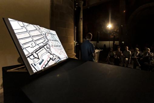
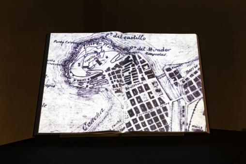
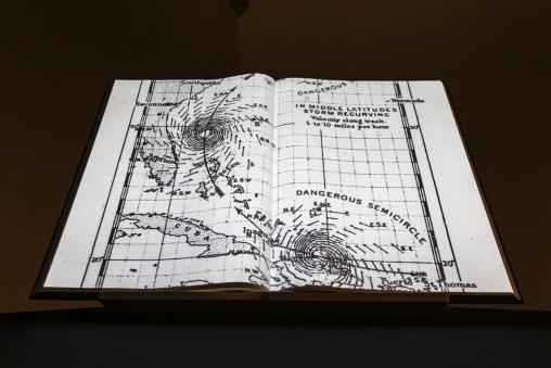
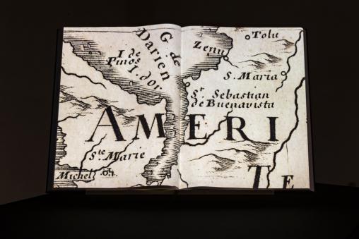
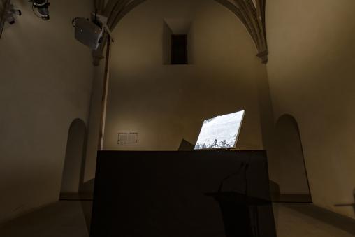
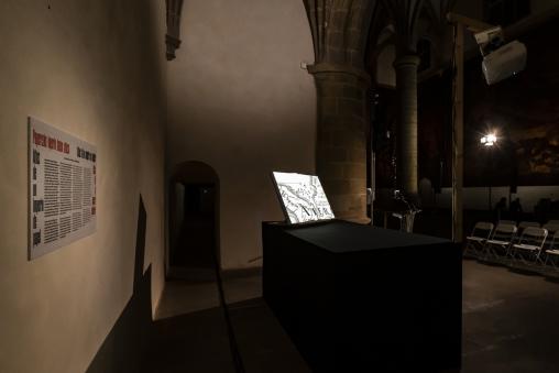
Atlas of a paper empire (2022) is a cartography of the San Telmo ethnographic museum in Donostia-San Sebastián through the old maps from its archive. After digitizing the documents, the artists have created an algorithm that plots a random path across a world bound only by the limits of the museum's own collection. In this way, Atlas of a paper empire reduces the world to the scale of the museum, directing the gaze from its building towards the city, the province, the state, the continent, until reaching the former colonies of Spain.
The work produced for Museo Bikoitza (Double Museum), an annual program of rereadings of the San Telmo Museum collection and its narratives of display.
Imagine a map so perfect, that not a single detail of the territory that it covers is left out. Such a map should, according to the writer Jorge Luis Borges, contain a map of the map. And this map, in turn, a map of the map. And so on, on to infinity.
Most maps do not live up to this level of perfection. They are abstractions, graphic representations of the space we inhabit. Vast stretches of ocean, impenetrable forests and towering mountain ranges are reduced to mere planes and figures, and byzantine urban centres to a bunch of scribbles on a flimsy piece of paper. Like irreverent caricatures, they hardly seem able to offer more than an impoverished experience of the world.
But the true power of abstraction does not lie in its faithful reproduction of reality. A model also generates its own reality, without origin in outside references. So what if we imagine for a moment that the map is not preceded by the territory? What if it is the map itself which brings the territory into existence?
It is with this idea in mind that the artists Iratxe Jaio and Klaas van Gorkum have approached the collection of antique maps from the archive of the San Telmo Museum. None of them have been acquired for their topographic accuracy. Their value is historical and cultural, with copies dating from recent history all the way back to the Renaissance. Starting from simple floor-plans of the Dominican convent housing the museum, they stretch out to include the Basque provinces, the whole of Spain, and cross the oceans to touch upon the shores of the former colonies.
We are living among the vestiges of the world they chart. They speak of battles won and of empires lost. They speak of a time when the unknown could be subjugated by drawing new frontiers across it. A time of first encounters between civilizations, of violence and political exploitation. A time from which the very notion of the ethnographic museum would emerge. To explore these maps, is thus to explore the museum itself, and to understand how its concepts of collection, display, learning and spectacle might have evolved out of the legacy of colonialism.
The artists have built an instrument to assist them on this expedition: a robotic arm which moves a camera across each document while it takes hundreds of close-up photos. They have been working inside the museum’s collection depot, feeding their machine with every map they could get their hands on. The results have then been stitched together again into high resolution digital copies. The resolution of these images is so high, in fact, that one can start to distinguish details that escape the naked eye: fibres of paper, an oily fingerprint left behind by a careless lithographer, or little holes created by the museum’s arch enemy, the bookworm.
It would take a lifetime to navigate the maps at this level of detail. That is why the artists have developed a computer algorithm that autonomously plots a path across this virtual universe. Like a phantom satellite, it perpetually surveys a territory that is bound only by the limits of the museum’s own collection.
Inside this map of maps, you might eventually come across a map of the museum again. And inside this map, the figure of a spectator, lost in thought, contemplating his or her position relative to the world.
